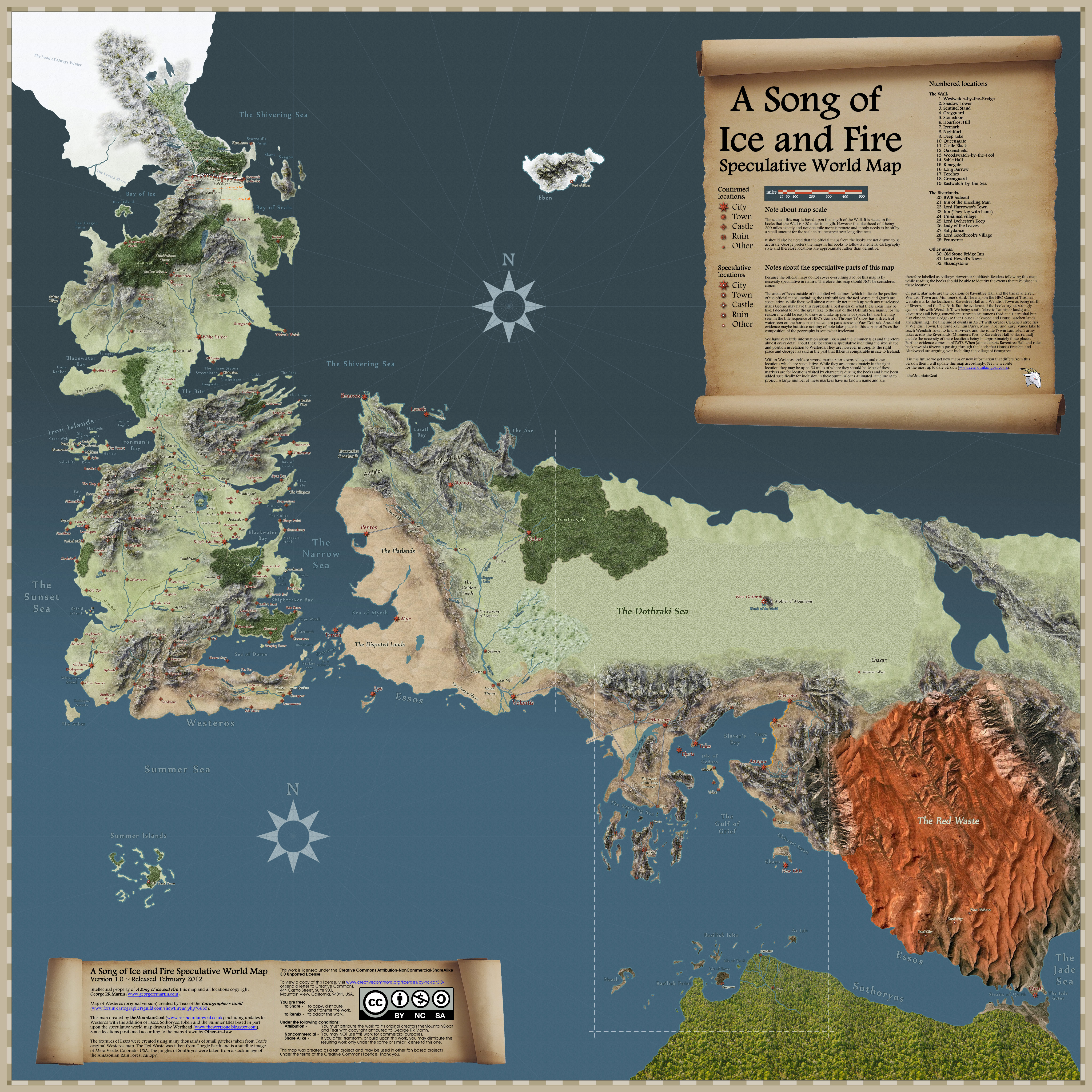
Trying this again, because CK2 maps are tricky and change over time, which makes comparison difficult and leads people to delete their posts in frustration. This time, I have a new set of images that I am reliably informed are from 283 AC in-game, so there’s consistency there.
So let’s compare these maps to the Imgur ones:
The North:

First things first: holy hell, the Rills are way too big, encompassing both the Stony Shore and Sea Dragon Point. Also, there’s an inconsistency here w/r/t the handling of “masterly houses” – the Wolfswood is separated out from the Stark domains despite the Glovers being a masterly houses, whereas Torrhen Square is not, even though the Tallharts and Glovers are of the same standing.
Beyond that, most of the names for the hill clan areas – Arrendell, Crow’s Edge are rather spurious – and Breakstone Hill for the Flints is based on an assumption that the First Flints and the Flints of Breakstone Hill are one and the same.
The Vale:

This is…interesting. Crab’s Shore doesn’t exist, neither does Darkmoore, and we don’t have any reason as to why House Templeton is that far west when the rest of the Lords Declarant are more to the east.
Inside the Vale proper, things get weird. The Redforts have been swallowed up by Runestone, even though the Redforts are a principal House the same as the Royces; likewise, the Waynwoods have seemed to swallow up the Melcoms. The Eastweald and Northweald aren’t real names either, and the former would seem to give House Hunter a lot of territory.
Over the mountains, the Corbrays look awfully small compared to the Belmores. I like the detail of the Royces having Coldwater Burn in their affinity, but the Lynderlys of Snakewood are pretty hard to see. Crow’s Barrens doesn’t exist, nor does that hard to read area next to it.
I will say that I think the Imgur maps do a better job with the smaller Houses, although again it’s a bit of a guess as to who’s where.
The Riverlands:

The Freys are way too big, even if they are a significant house, that’s more land than Harrenhal has. indeed, the lands north of the Trident are messy in general – Wycombe isn’t a real name, nor is Chiltern or Still Fenn. I also don’t think the Tullys have any land at the intersection of the Trident, as much as I think they should. My bigger problem is that we don’t see House Roote of Harroway’s Town, and I think House Darry is actually south of the Trident as per AGOT and AFFC, probably where “Deddington”(?) is on the map.
My next problem has to do with the Vances, where I actually have a beef with both sets of maps. I agree with Ser Mountain Goat that Wayfarer’s Rest logically occupies a position on the River Road equidistant between RIverrun and the Golden Tooth: this would explain both why Karyl Vance was involved with the Mountain’s raids on the border, and why the castle that name, since it probably got its start catering to traders and travellers along the road.
I also have a problem with some of these invented names: Acorn’s Ridge doesn’t make much sense when Atranta is there to be used. Likewise, Southstone is pretty much exactly where Stone Hedge should be, so why not use that name?
Once again, I think the Imgur does a better job reminding us of the existance of lesser Houses like the Rygers (although I would place them nearer to Riverrun given their history), the Vyprens (who are definitely near the Darrys, given the Battle of the Widow’s Ford), the Goodbrooks, the Wayns, etc.
Iron Islands:
Skipping b/c you can’t read the map.
Crownlands:

Let me just say how boring I find the Crownlands, and that the only reason I’m writing about them is for the sake of completeness and my undying love for you all.
First things first, it’s a bit odd that House Wendwater isn’t on the Wendwater, and that House Fell from the Stormlands holds the Kingswood, that seemingly House Seaworth holds the Blackwater Rush, etc.
Second, there’s some missing houses here: the Buckwells of Antlers, the Brones of Brownhollow, the Rykkers of Duskendale, etc.
Westerlands:

The first thing that jumps out to me is that the Gold Road is outside the borders of the Westerlands, so I don’t know what’s going on there. Next, the Lyddens of Deep Den should be in-between Silverhill and Hornvale. further south, I’m not sure why the landed knights of Greenfield are more powerful than the principal House Swyft of Cornfield, nor what Lonmount is supposed to be. Other mysteries: what Lang Tower is, or Tendring is, and why it’s where Oxcross should be.
Sarsfield seems way too big, as does Ashemark. Tarbeck Hall can be seen, but not Castamere. The Banefort seems to have been gobbled up by the Westerlings for some unknown reason; likewise, the Kennings of Kayce seem to have absorbed the Presters of Feastfires.
The Reach:

The list of non-existent names is getting too long, so I’m just going to skip them and just talk about the power dynamics. The Rowans of Goldengrove seem way too big, making the Cranes and Oldoaks seem too small.
Blueborn and Cockleswent doesn’t exactly work very well as regions – I doubt the Meadows control all of the former, or the Ashfords the latter. Likewise, the Westmarch seems too big for the Tarlys alone to handle – where are the Peakes? Where are the Vyrwels? Inchfield doesn’t exist and wouldn’t be there if it did – Coldmoat and Standfast need to be to the west of House Rowan’s holdings, given Wilbert Osgrey’s duel with Lancel IV.
In general, probably my least favorite to date, not particularly suitable as a political map.
The Stormlands:

House Wendwater is in the Crownlands, not the Stormlands, and why is it in two places? Tarth is ridiculously large, having somehow grabbed the lands of House Penrose of Parchments. House Buckler of Bronzegate also seems to have vanished. House Fellwood is north of where it should be, House Morrigen is to the east of where it should be, Stonehelm is labelled the Red Watch, and for some reason Dragonstone holds the Rainwood (is that supposed to be Davos? Even so, he’s a bit north of where he should be).
Also not one of my favorites.
Dorne:

The penchant for HUGE fiefdoms continues apace, it seems. The Ullers are much much too big, encompassing the lands of the Qorgyles as well. The Tolands likewise seem to have gobbled up the Jordaynes and much of the Allyrions. The Fowlers and the Manwoodys look squished together. Spottswood I think is on the wrong end of Dorne, it should be much closer to the Yronwoods.
Better than average, I guess?
